Free · No registration
Want to know where your parcel is?
Find the “Cadastral designation” on your Certificate of Title. If it has 12 digits, use them to view your parcel’s reference location in Google Maps.
METAGEO · DOMINICAN REPUBLIC
Land surveying and property appraisals to move forward with confidence.
Understand your land, assess your property and plan your project with technical insight. Land surveying, cadastral diagnostic reports, property appraisals, photogrammetry and LiDAR. Serving you from Sosúa and Santo Domingo.
ABOUT OUR COMPANY
About METAGEO
Land, technology and professional judgment.
METAGEO brings together land surveying, property appraisals, photogrammetry and cadastral analysis to support property and project decisions in the Dominican Republic.
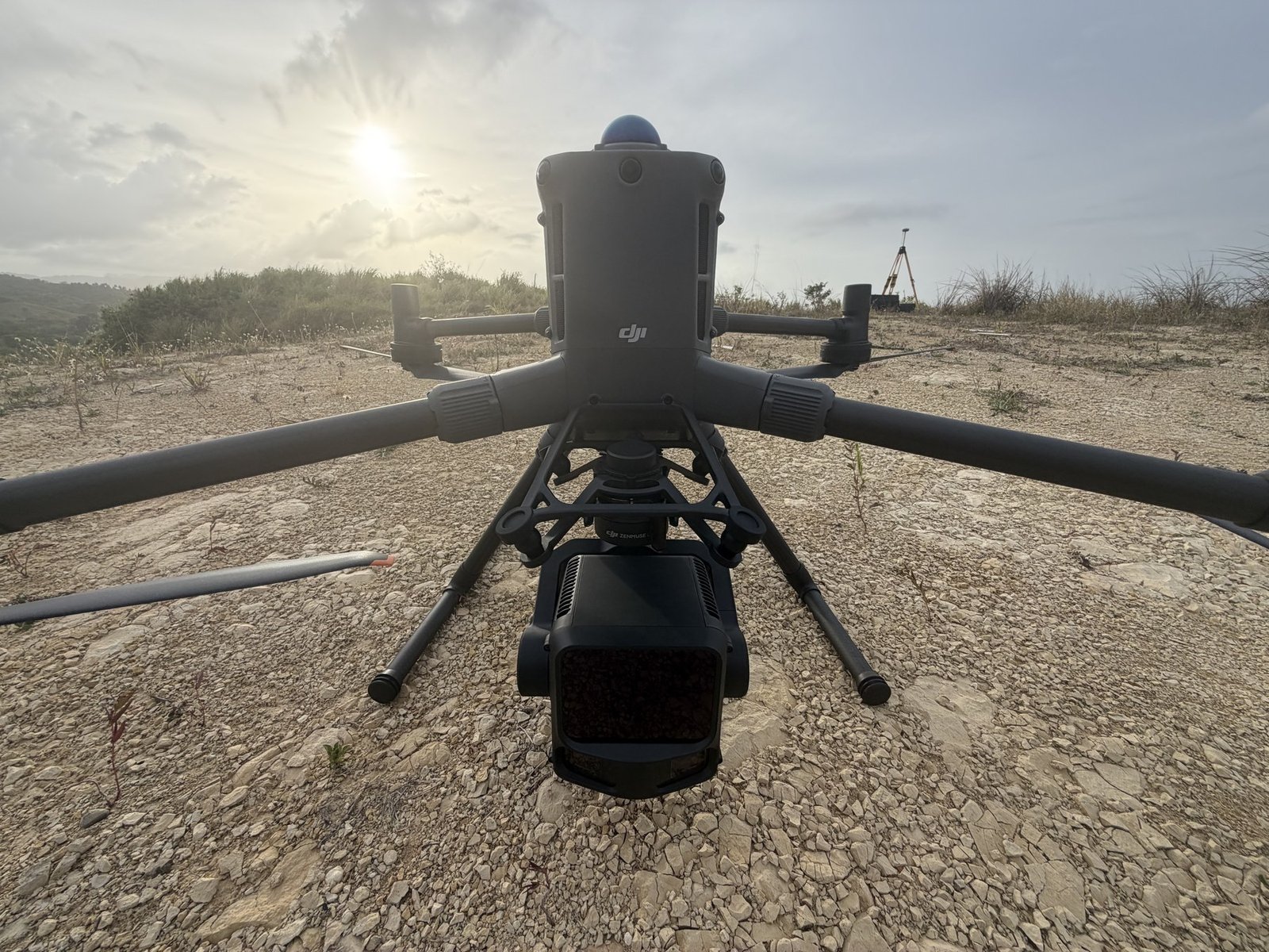
The company is led by Alam Eslí Vilorio Martínez, a land surveyor, property appraiser and photogrammetrist. Our work combines document review, field measurements and tools such as GNSS, drones and LiDAR, according to each project’s needs.
From Sosúa and Santo Domingo, we serve property owners, real estate agents, lawyers and developers.
FREE TOOLS
Locate your parcel
The 12 digits of the “Cadastral designation” on your Certificate of Title let you look up the reference location. You can also view the parcel shape if you have a KML or GeoJSON file.
Before buying or selling
Convert square meters, tareas and hectares. Organize the documents and questions for your transaction with a checklist for property owners, real estate agents and lawyers.
Track your case
Track your case through the Registro Inmobiliario using your case details.
OUR SERVICES
Information that gives your project direction.
01 / LAND SURVEYING
Understand your land.
Surveys and cadastral diagnostic reports to compare documents, location and boundaries and guide your next steps.
Explore land surveying →
Explore cadastral diagnostic reports
02 / PROPERTY APPRAISALS
Understand its value.
Property appraisals to support your decisions about land, a home or another property.
03 / DRONES AND LIDAR
Broaden your perspective.
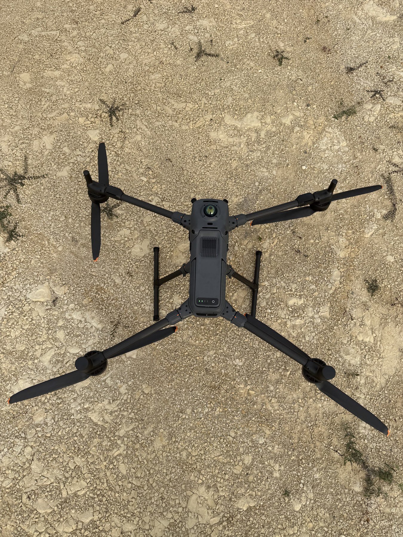
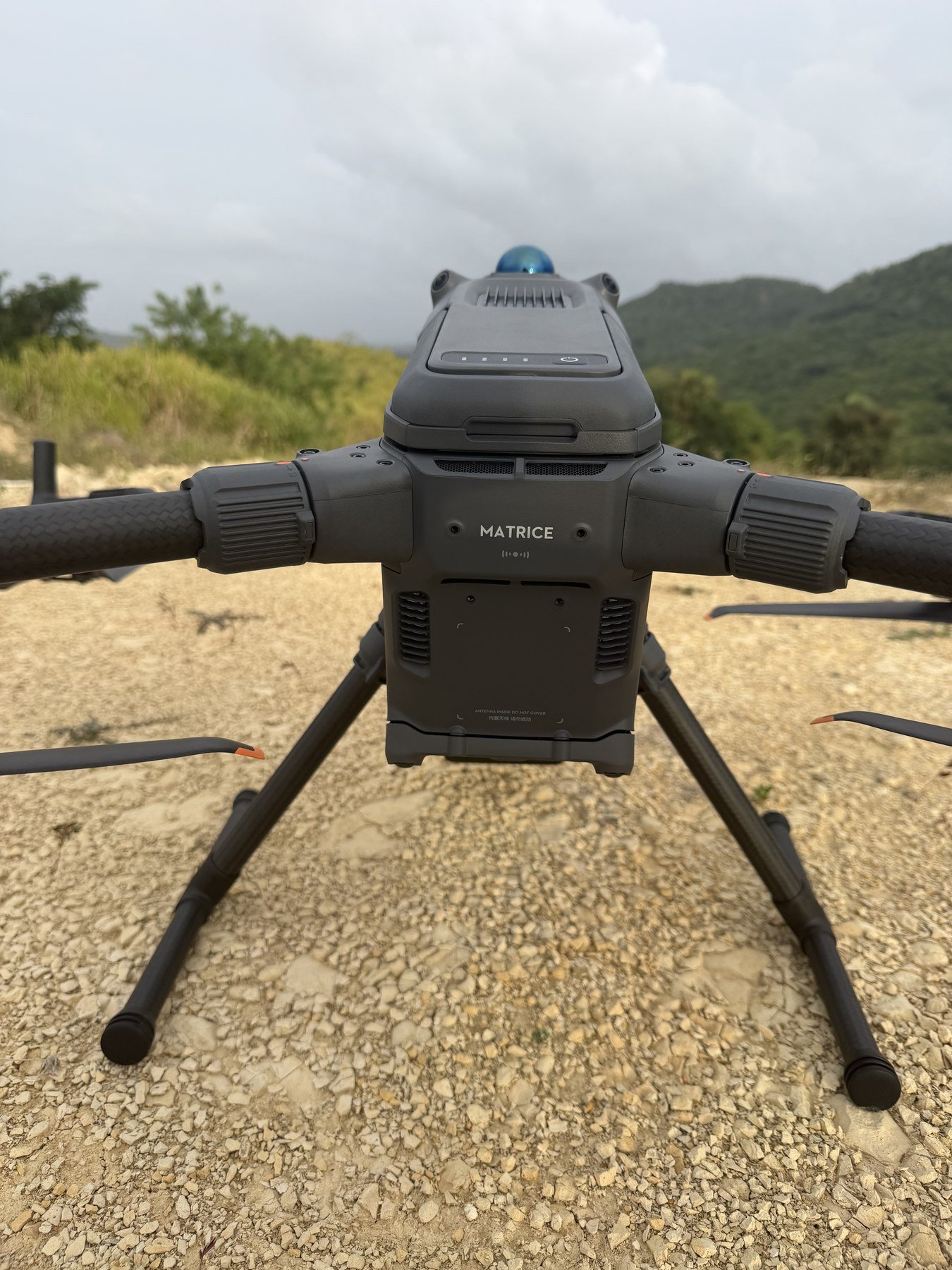
Photogrammetry, point clouds and terrain models to understand the project area and support planning.
FROM FIELDWORK TO INSIGHT
A clear process from your first inquiry.
1. Tell us about your project.
Share the property location, your objective and the documents available.
2. We define the scope.
We review your request and prepare a proposal outlining the work and deliverables.
3. Receive the results.
We carry out the agreed work and explain the information delivered.
LET’S TALK ABOUT YOUR PROPERTY
Your next project starts here.
Send us the property location and a brief description of what you need. We’ll guide you through the service and next steps.