METAGEO SERVICES
From fieldwork to the information you need.
Land surveying, cadastral diagnostic reports, property appraisals, photogrammetry and LiDAR for property owners, real estate agents, lawyers and developers.
01 / CADASTRAL DIAGNOSTIC REPORT
Understand the technical status of your property.
We review the available documents and cross-check titles, plans, coordinates and cadastral records to identify findings and define the next steps.
- Review of consistency between location, area, boundaries and documents.
- Analysis of potential overlaps and inconsistencies, within the agreed scope.
- A technical report with findings, graphics and recommendations for further investigation or resolution.
Field surveying, official certifications and property registry research are expressly defined in the quote. The technical report supports your lawyer’s review.
02 / LAND AND CADASTRAL SURVEYING
Measurements, boundaries and parcel regularization.
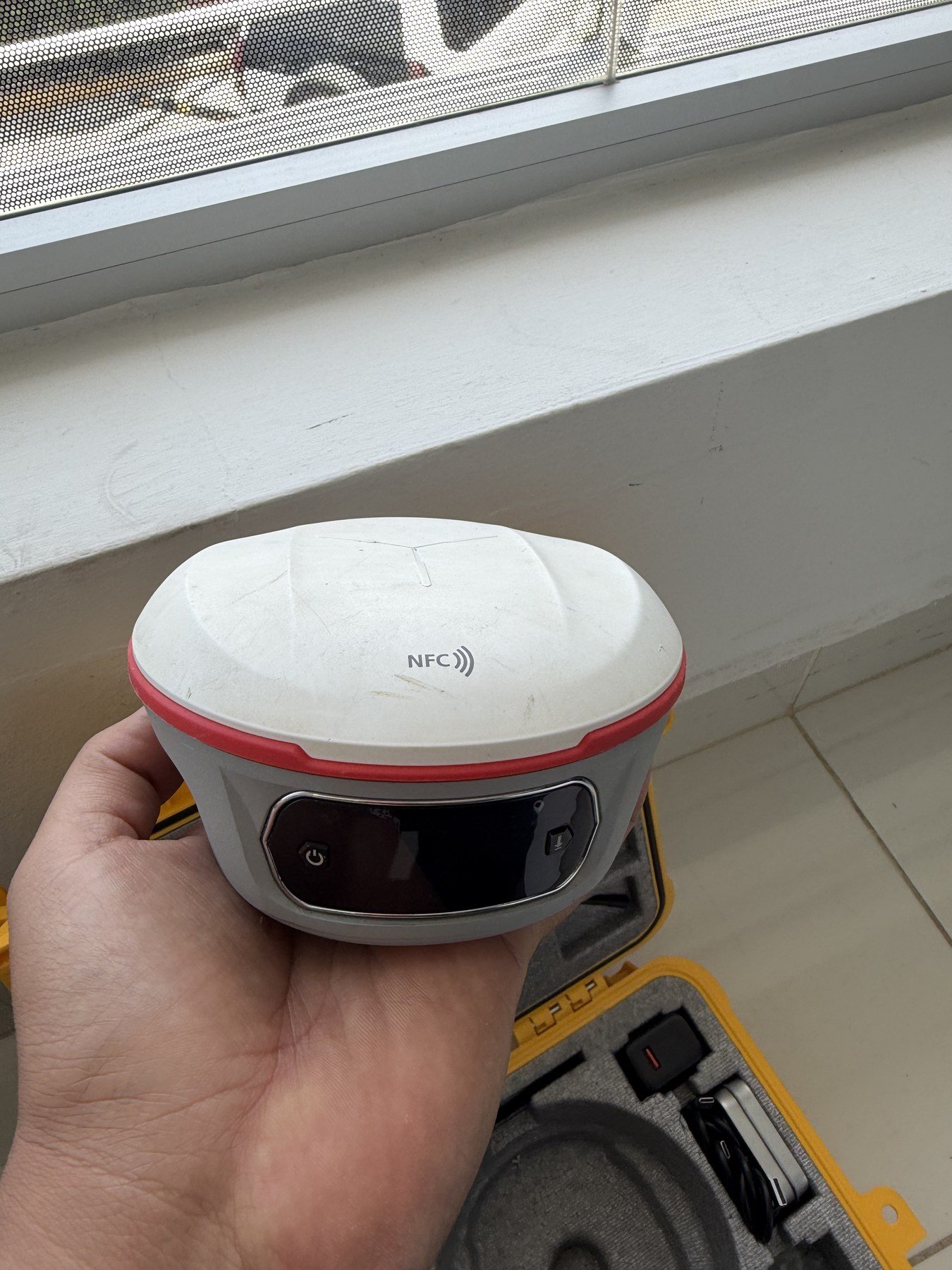
We combine document review and GNSS field measurements to prepare technical information suited to each assignment’s objective.
- Georeferenced and topographic surveys.
- Parcel regularization, cadastral boundary demarcation (deslinde) and preparation of technical case files.
- Verification of boundaries and their consistency with survey plans.
- Setting out parcel vertices and reference points, and elevation control.
03 / LIDAR SURVEYS
Understand the terrain in three dimensions.
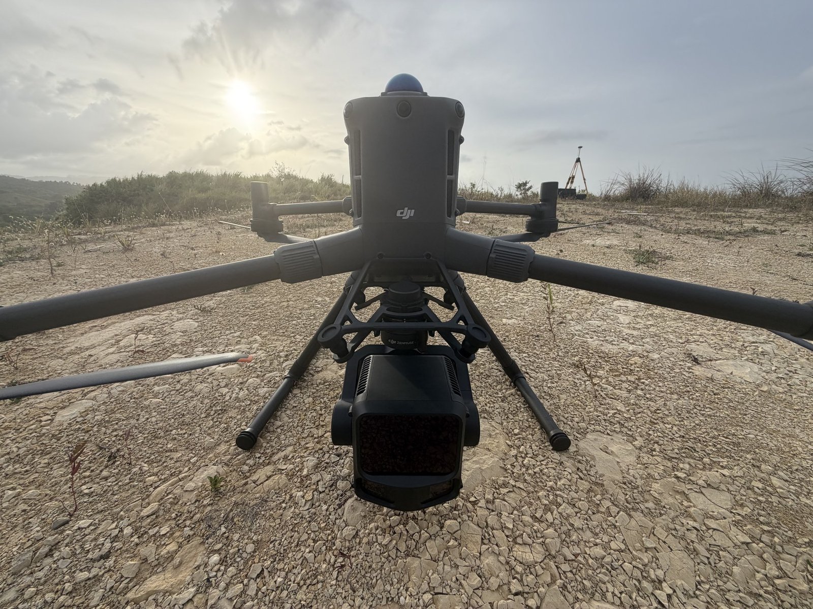
We use drones and LiDAR sensors to capture three-dimensional data and support terrain analysis, planning and project development.
- Point clouds and classification suited to the assignment’s purpose.
- Digital terrain and surface models.
- Contour lines and mapping products tailored to your project.
Coverage, resolution, survey controls and deliverables are agreed according to site conditions and the intended use of the information.
04 / DRONE PHOTOGRAMMETRY
An aerial view with measurable information.
We derive information from aerial imagery to map properties, document the terrain and support studies and projects.
- Orthorectified imagery and mapping of the project area.
- Three-dimensional models and surfaces, within the agreed scope.
- Visual documentation and products for analysis and planning.
05 / APPRAISALS
Appraisals of properties, equipment and facilities.
We prepare appraisal reports based on inspection, analysis and value conclusions, according to the appraisal’s purpose and the information available.
- Land lots, buildings and improvements.
- Equipment and facilities identified in the client’s inventory.
- Reports for asset decisions, transactions or financing applications, according to the recipient’s requirements.
06 / REPORTS AND TECHNICAL SUPPORT
Cadastral analysis for decisions and case files.
We support property owners and real estate professionals by reviewing records and providing technical documentation of the findings.
- Historical cadastral research and review of available records.
- Reconstruction of parcel polygons and overlap analysis.
- Technical cadastral verification of boundary demarcation (deslinde) and parcel boundaries.
- Technical reports and professional assistance with a defined scope.
BEFORE REQUESTING YOUR QUOTE
Share your objective and location.
Tell us the service you need, the province and municipality, the approximate area and the documents available. We’ll review the case to define the scope, deliverables and fees.
Tools for your property.
Look up a designation’s reference point, calculate coordinates from a polygon, convert areas and access official case tracking.